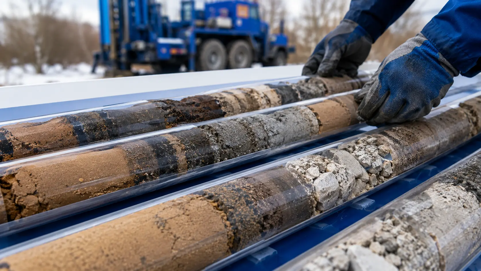
Utility locate markings at an active work site

Private utility locating across Ontario

Public locates do not always cover privately owned services. GEO traces, marks and documents private utilities in the work area, with daylighting available when a critical crossing needs physical verification.

  • GPR and EM line tracing
  • Field markings and locate drawings
  • Daylighting coordination

Why a private locate matters

A public locate may leave private utilities unmarked.

Ontario One Call sends the request to participating infrastructure owners. If a service is privately owned or begins beyond the demarcation point, arrange a private locate before work starts.

Typical demarcation points

Select a utility to follow its ownership handoff.

Typical public and private utility demarcation points A commercial property beside a public road. Numbered points mark a communications point of entry, gas meter, electrical transformer, water valve, sewer connection, and public pipeline easement. Solid lines represent utility-owned services and dashed lines represent services that may be privately owned. Demarcation Point SITE BUILDING PUBLIC ROAD Utility-owned services PRIVATE PROPERTY Handoffs vary by utility PUBLIC UTILITY EASEMENT on private property

Swipe to inspect the full site diagram.

Typical examples only. Confirm ownership and the demarcation point for every utility and site.

GEO uses the right locating methods for utilities and site conditions.

We start with the available information and a site walk, then use the right locating methods for the services and conditions on site. If a utility must be physically confirmed, GEO can daylight it.

Private utility locating

Trace and mark privately owned services within the planned drilling or excavation area.
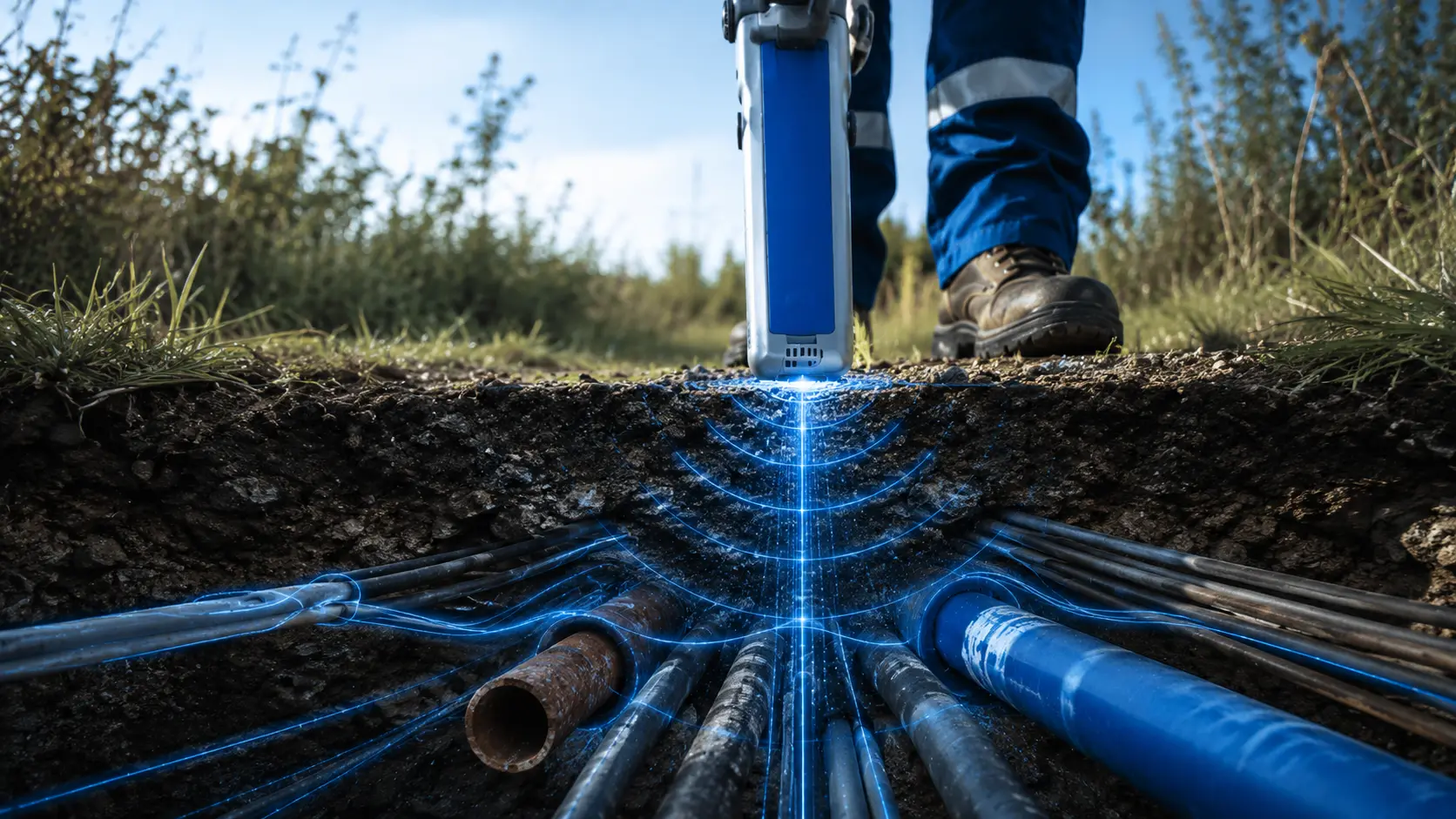
GPR surveying

Use ground-penetrating radar to help identify buried features that cannot be traced with an electromagnetic signal.

EM line tracing

Apply and follow a signal on conductive services to trace their route through the work area.

Field markings and locate drawings

Mark findings on site and record the located area, utility routes, structures, and field notes for the project team.

Vac verification

Expose a critical crossing with daylighting when drawings and surface markings are not enough.

Cross-bore prevention

Locate and verify buried services around planned or completed bore paths to help identify conflicts.

The handoff point varies by utility

Ownership can change at a point of entry, meter, transformer, valve, connection, or property boundary. Confirm the handoff point for each utility on the site.
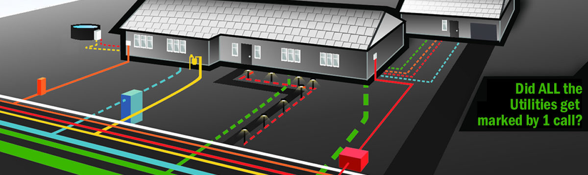
Illustration showing public utility mains near a road and coloured private utility branches serving buildings and site equipment
Utility-owned
May be privately owned
Public utility easement
One possible layout of public and private utilities on a site.
  1. 01

    Communications

    Telephone, data, security, and other communication lines may become private after the point of entry.

  2. 02

    Gas

    Services downstream of the meter are often private. Confirm ownership with the utility owner for the site.

  3. 03

    Electrical

    Secondary services after a transformer may feed buildings, lighting, signs, pumps, and equipment.

  4. 04

    Water and sewer

    Ownership may change at a valve, service connection, or property boundary, depending on the system.
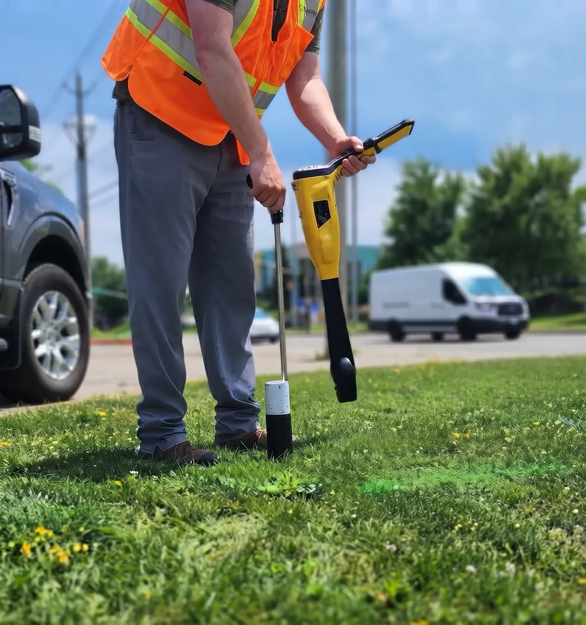
GEO technician locating a buried utility beside a roadway

Private utilities in the work area

Private utilities can run between buildings, equipment, tanks, signs, lighting, and other parts of the site.

Electrical services
Power running from a transformer or main building to buildings, equipment, tanks, signs, lighting, and other parts of the site.
Gas services
Gas lines downstream of the ownership point that serve heaters, process equipment, tanks, or other buildings.
Water services
Internal water lines serving buildings, wash bays, equipment, hydrants, and other site connections.
Sewer and drainage
Sanitary, storm, and drainage networks running between buildings, catch basins, manholes, and property connections.
Communications
Telephone, data, security, camera, gate, and control lines crossing the property.
Process piping and irrigation
Buried piping for process equipment, gases, chemicals, irrigation, or reclaimed water.

These are common examples, not a complete list. Confirm ownership and demarcation point for every utility on the site.

What a completed locate drawing can show

This anonymized example brings the located area, property limits, buried routes, structures, and field notes into one drawing for the project team.
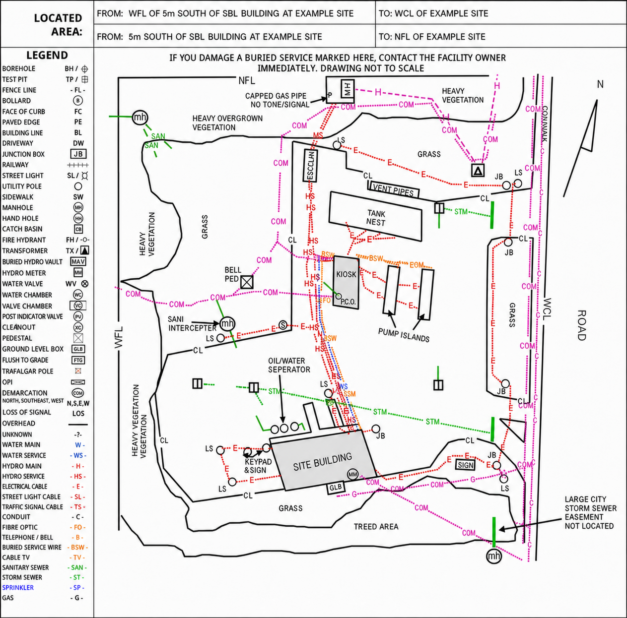
  • Defined located area and property limits
  • Colour-coded utility routes and site structures
  • Field labels and loss-of-signal notes
Open full-size drawing
Anonymized private locate drawing showing property limits, site structures, and colour-coded buried utility routes
Anonymized example. Utility ownership and field conditions vary by site.
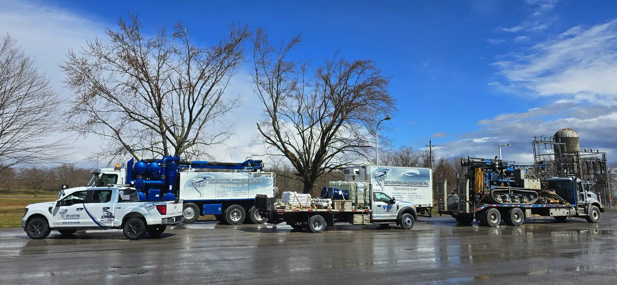
GEO daylighting and locating fleet parked together at a work site

Preferred Contractor Pricing

Service Bundles

The name you trust for all your drilling, hydrovac and private locating needs, now brings you

GEO, YOUR ONE-STOP, ALL-SOLUTION SHOP

*Locate credits will be reflected on the final project invoice

Ready to start your next project?

Tell us about your site and timeline. Our estimating team responds within one business day with a tailored quote.